ABI 198- Operation Protocol
ABI 198 Section B- Operation Protocol
May 09, 2025

Great job to everyone for presenting your findings from our field work on May 7th, 2025. We are getting ready to head into the field next week and start collecting the large chunk of our data. We currently have 17 total granaries! There are 8 granaries at Cahill and 9 granaries at Quail Ridge.
Meeting minutes 5/9/25:
12:10pm- Meet at Briggs 122
12:15pm- Satellite group presents their findings
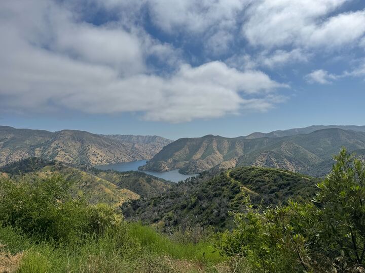
12:25 pm- Granary seekers present their findings
- Group 1: Make spreadsheet for granary data
- Group 1 focused on making 2 spreadsheets; one for in the field, quick data, the second one is a master list that will include slower data
- Group 2: Make schedule for the rest of the quarter
- Group 2 focused on keeping us on track and ensuring we have an idea of what we need to have accomplished by each meeting.
- The team was able to test multiple platforms to find which one reflects our goals the best.
- Biggest conflict that team satellite has ran into is that we cannot zoom in super close to get specific details
- ImageJ:
- Benefits:
- flight patterns from tree to tree
- contrast of colors to see burned severity
- Will give us the height of the tree
- Can tell burnt severity of multiple trees in the area
- 3 new granaries found
- 2 oak and 1 pine
- oak trees had fewer holes
- the team was able mark the trees
- we will need to go back for measurements
- 1 granary that is difficult to access
- Lot of woodpecker activity
- dead, oak tree
- 7 new granaries found
- need to revisit last 3 trees to get information
- potential "Mother Tree"
- All granaries found are gray pine
- Gators helped team get to locations much faster and further
- time consuming
- group of 3 would have to stay dedicated to satellite
- We could potentially get some interesting data on burn severity in these regions
- We let the satellite team decide if they wanted to continue their search, they all wanted to and so we will continue to have Ashley, Annika, and Cameron continue collecting satellite data.
- chisels seem to be the best bet to ensure that we can an intact piece of bark
- as we had tried on 5/7/25, the axe split the bark when we tried to remove it making it unusable.
- auger wrench could also potentially help us remove the bark with extra help from a PVC pipe
We will sample 60 holes per tree and do quick measurements on each of the holes at each tree:
Stratify measurements by cardinal directions and height categories
4 directional categories: North South East West
Use a compass (either one provided or on phone)
3 height categories: 0.5m, 1m. 1.5m from the ground
.png)
5 holes per category (12 categories total x 5 holes = 60 holes)
Greater depth measurements:
Stand close to the tree at one of the 12 categorical areas (you will need to bend down)
Use the finger to nose method to prevent bias. Close your eyes, move finger randomly within the categorical area, and then open your eyes– measure whichever acorn hole your finger is closest to

For each hole measure:
Diameter of hole using calipers

Height Category (1-0.5m, 0.5-1m,1-1.5m)
Directional category (North,East,South,West)
Use compass to determine direction
Next, note the acorn status: empty vs intact
Please note it acorn shell is still in hole and if acorn is partially removed

Partially removed 
Completely removed 
Acorn shell still present 
Acorn occupied - When measuring the 5th hole in each category, remove the acorn (if present) with the wine opener
Measure acorn length
Measure acorn width
Measure hole depth- stick object in hole (such as a pencil) and measure that amount with the calipers
Bark thickness- drill into the tree until drill hits the living layer
Use calipers to measure thickness
After collecting bark and acorn (if present) put into ziploc bag
Make sure to label with Granary ID (C or QR), tree #, directional category, height category, and hole #
Ex: C1, N, 0-0.5m, #10
Repeat the previous step for all 12 categories
Neighborhood survey:
Take a 6-inch PVC square and use masking tape to label what part of the tree it belongs to
Please write on the masking tape Granary ID (C or QR), tree #, directional category, and height category
Ex: QR3, S, 1-1.5m
Center the PVC square on one of the 12 categories on the tree
Take a photo of the square and keep these photos organized and labeled
When we get back to the lab we will do these things:
Count the holes: total occupied AND total unoccupied
Determine burn severity estimate per square
.png)


- Meet with our groups:
- Group 1: Satellite Group
- Ashley, Cameron, and Annika
- Group 2: Cahill Group
- Marshall, Taylor, Serenity, Mia, Marlee, Ana, Amy, Josh, Yusuf, Damian, Arianna, Kelly, Megan, Stephanie, Elizabeth
- Group 3: Quail Ridge
- Crystal with one student (TBD)
- Each group grab equipment to take on your hike
- compass, clipboard, papers (should have protocol and data sheet), chisel, caliper, sharpie, PVC square, masking tape, phone to take pictures with, auger wrench, wine opener, ruler, DBH tape (if going to tree that has not yet been measured), drill
- The amount of time it can take is highly variable since all trees have a different abundance of holes and acorns. Also since this is our first time measuring everything
- If your group happens to finish early, please go to an unassigned tree and continue collecting data.
- If you are going to a tree that does not have DBH, burn severity, and % of tree used for granaries/ acorns occupied, please make sure to also collect that data.
- Please make sure to bring at least 1 sharpie per group and a pen/pencil to write down data. Data sheet and protocol paper will be provided Wednesday, so no worries about printing anything out.
- Please make sure to bring plenty of water and lunch to eat on the way. Make sure to bring sunscreen and bug repellent if you want.
- Make sure at least one person in the group has the app Avenza Maps with the coordinates of your tree to make it easier to find


Comments
Post a Comment